Cover

9 Years of Excellence

Inventory on all Public Infrastructure

Prepare an inventory on all Public Infrastructures in Ukhiya & Teknaf Upazila that could be used as cyclone shelter for Emergency preparedness.

CLIENT:

ACTIONAID (Funded by UNDP)

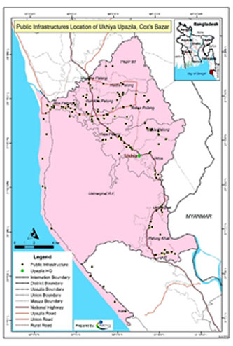
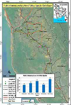
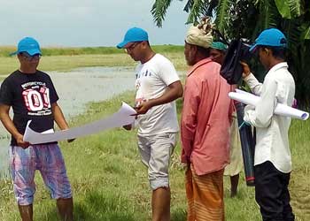
The task involves collecting secondary data from the two upazilas, including GIS maps of different structures, lists of public infrastructures with detailed information, and 
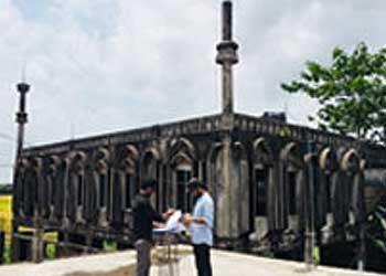
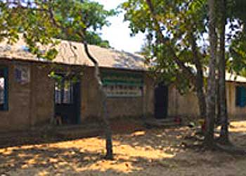
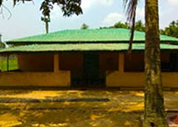
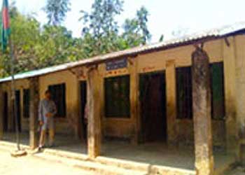
other relevant information. A field survey was conducted to physically visit all public infrastructures, including existing cyclone shelters, to identify those that could be used as shelters during cyclones in Ukhia and Teknaf. All primary data was cross-checked with secondary data and digitized for further use. GPS data was processed and linked with other attributes of the data collected during the survey.

By analyzing the results of the survey and GIS data, upazila-wise maps were prepared, which showed the location of all infrastructures with their types, capacity, and conditions. The report will provide a comprehensive inventory of public infrastructures that can be used as cyclone shelters, contributing to emergency preparedness efforts in the area.


Services provided

  •   Secondary Data Collection: secondary data has been be collected from these two upazilas. The information included GIS map of different structure, list of public infrastructures with detail information available and other relevant information.

  •    Conduct field survey with GPS data collection: the research team has been physically visited all public infrastructures and identify those infrastructures (including existing cyclone shelters) who could be used as a shelter during cyclone in Ukhia and Teknaf. A checklist/criterion were developed in consultation with UNDP to collect all required information.

  •    Data validation and analysis: All primary data has been be crosschecked with secondary data and digitized for further use.

  •    GPS data processing and Mapping: GPS data has been processed and linked with other attribute of those data collected during survey. By analyzing GIS data upazila wise map has prepared which showed location of all infrastructure with their types, capacity and conditions.

  •    Reporting: A technical report were prepared by analyzing and result of the survey including Lesson learnt, challenges faced and recommendations will be focused in the report.